Marknadens största urval
Snabb leverans

Böcker i Collins Primary Atlases-serien

Filter
Filter
Sortera efterSortera Serieföljd
  • av Collins Maps & Stephen Scoffham
    120,-

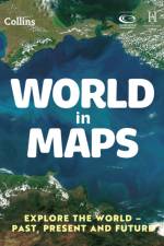
    Collins World in Maps is a multi-topic atlas of the world, which introduces the most relevant physical and human topics to reflect the Geography Key Stage 2-3 requirements of the National Curriculum.

  • av Collins Maps
    136,-

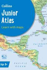
    An ideal world reference atlas for young primary school geographers aged 9-11 years at Keystage 2. Published in association with the Geographical Association, enabling students to learn about the world today by exploring clear and engaging maps, study satellite imagery, understand key facts and statistics, and learn how maps and atlases work.

  • av Collins Maps
    146 - 150,-

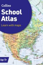
    An introductory atlas for secondary schools, perfectly designed to support and motivate Key Stage 3 students in geographical and mapping skills.

  • av Stephen Scoffham
    120,-

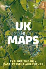
    Collins UK in Maps is a multi-topic atlas of the UK, which introduces the most relevant topics to reflect the Geography Key Stage 2-3 requirements of the National Curriculum.

  • av Collins Maps
    110,-

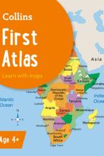
    Collins First Atlas is a fun, vibrant and clear starter atlas for 4-7 year olds which provides an introduction to basic geographical and atlas vocabulary.

  • av Collins Maps
    120 - 126,-

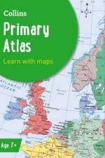
    A curriculum-supportive Primary World Atlas for children aged 7-11 years (Key Stage 2). Designed for use in the classroom or at home, this revised edition includes informative politically coloured reference mapping of all major world regions.

Gör som tusentals andra bokälskare

Prenumerera på vårt nyhetsbrev för att få fantastiska erbjudanden och inspiration för din nästa läsning.