Marknadens största urval
Snabb leverans

Böcker i OS Map Books: Wales Coast Path-serien

Filter
Filter
Sortera efterSortera Serieföljd
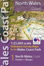
  • - 1:25,000 scale Ordnance Survey mapping for the Wales Coast Path
     
    156,-

    One of seven handy, lightweight, pocket sized map bookscovering the whole of the 870 mile/1400 kilometre Wales Coast Path. This volume covers North Wales from Chester to Bangor and includes enhanced large scale (1:25,000) Ordnance Survey mapping in a handy atlas format.

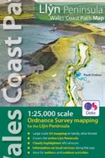
  • - 1:25,000 scale Ordnance Survey mapping for the Llyn Peninsula section of the Wales Coast Path
     
    156,-

    Enhanced, large scale (1: 25,000) Ordnance Survey mapping in a handy atlas format with all the mapping you need to walk the Llyn Peninsula section of the Wales Coast Path.

Gör som tusentals andra bokälskare

Prenumerera på vårt nyhetsbrev för att få fantastiska erbjudanden och inspiration för din nästa läsning.