Marknadens största urval
Snabb leverans

Böcker av Martin H. Trauth

Filter
Filter
Sortera efterSortera Populära
  • av Martin H. Trauth
    726,-

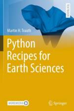
    Python is used in a wide range of geoscientific applications, such as in processing images for remote sensing, in generating and processing digital elevation models, and in analyzing time series. This book introduces methods of data analysis in the geosciences using Python that include basic statistics for univariate, bivariate, and multivariate data sets, time series analysis, and signal processing; the analysis of spatial and directional data; and image analysis. The text includes numerous examples that demonstrate how Python can be used on data sets from the earth sciences. The supplementary electronic material (available online through Springer Link) contains the example data as well as recipes that include all the Python commands featured in the book.

  • av Martin H. Trauth
    890,-

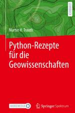
    Python wird in einer Vielzahl geowissenschaftlicher Anwendungen eingesetzt, z. B. bei der Verarbeitung von Bildern für die Fernerkundung, bei der Erstellung und Verarbeitung digitaler Höhenmodelle und bei der Analyse von Zeitreihen. Dieses Buch führt in Methoden der Datenanalyse in den Geowissenschaften mit Python ein, darunter grundlegende Statistiken für univariate, bivariate und multivariate Datensätze, Zeitreihenanalyse und Signalverarbeitung, die Analyse räumlicher und gerichteter Daten sowie die Bildanalyse. Der Text enthält zahlreiche Beispiele, die zeigen, wie Python auf Datensätze aus den Geowissenschaften angewendet werden kann. Das ergänzende elektronische Material (online verfügbar über Springer Link) enthält neben den Beispieldaten auch Rezepte, die alle im Buch vorgestellten Python-Befehle enthalten.

  • av Martin H. Trauth
    746,-

  • av Martin H. Trauth
    986,-

    Python is used in a wide range of geoscientific applications, such as in processing images for remote sensing, in generating and processing digital elevation models, and in analyzing time series. This book introduces methods of data analysis in the geosciences using Python that include basic statistics for univariate, bivariate, and multivariate data sets, time series analysis, and signal processing; the analysis of spatial and directional data; and image analysis. The text includes numerous examples that demonstrate how Python can be used on data sets from the earth sciences. The supplementary electronic material (available online through Springer Link) contains the example data as well as recipes that include all the Python commands featured in the book.

  • - MATLAB (R) Recipes for Data Acquisition in Earth Sciences
    av Martin H. Trauth
    726,-

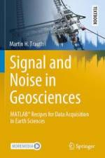
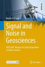
    This textbook introduces methods of geoscientific data acquisition using MATLAB in combination with inexpensive data acquisition hardware such as sensors in smartphones, sensors that come with the LEGO MINDSTORMS set, webcams with stereo microphones, and affordable spectral and thermal cameras. The text includes 35 exercises in data acquisition, such as using a smartphone to acquire stereo images of rock specimens from which to calculate point clouds, using visible and near-infrared spectral cameras to classify the minerals in rocks, using thermal cameras to differentiate between different types of surface such as between soil and vegetation, localizing a sound source using travel time differences between pairs of microphones to localize a sound source, quantifying the total harmonic distortion and signal-to-noise ratio of acoustic and elastic signals, acquiring and streaming meteorological data using application programming interfaces, wireless networks, and internet of things platforms, determining the spatial resolution of ultrasonic and optical sensors, and detecting magnetic anomalies using a smartphone magnetometer mounted on a LEGO MINDSTORMS scanner. The book¿s electronic supplementary material (available online through Springer Link) contains recipes that include all the MATLAB commands featured in the book, the example data, the LEGO construction plans, photos and videos of the measurement procedures.

  • av Martin H. Trauth
    616 - 836,-

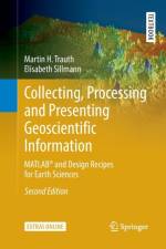
  • - MATLAB (R) and Design Recipes for Earth Sciences
    av Martin H. Trauth & Elisabeth Sillmann
    746 - 1 090,-

    This volume introduces students to each phase of a typical data analysis project in the earth sciences, from preliminary research through data processing in MATLAB to presenting the results. It features numerous examples and tips on using internet resources.

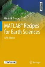
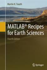
  • av Martin H. Trauth
    876,-

    MATLAB (R) is used for a wide range of applications in geosciences, such as image processing in remote sensing, the generation and processing of digital elevation models and the analysis of time series.

Gör som tusentals andra bokälskare

Prenumerera på vårt nyhetsbrev för att få fantastiska erbjudanden och inspiration för din nästa läsning.